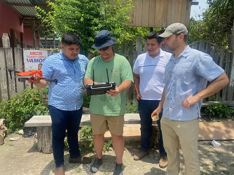
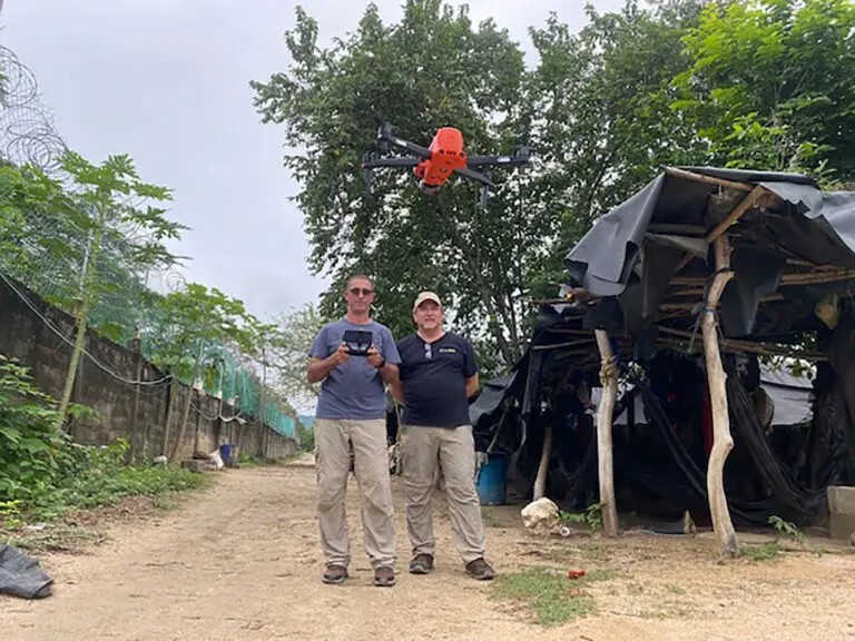
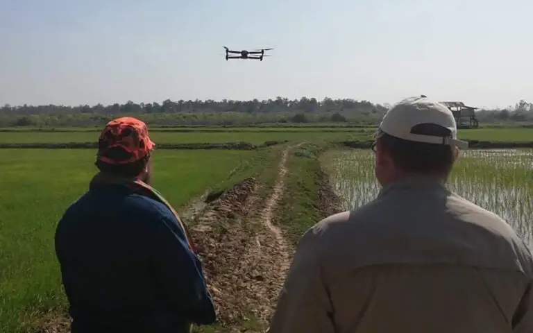
This class focuses on the principles and techniques of using drones for mapping, surveying, and generating high-quality spatial data. Participants will learn about photogrammetry, remote sensing, and how to integrate drone data into Geographic Information Systems (GIS) for accurate and detailed mapping of conservation areas, habitats, and environmental changes.
- News
Lorem ipsum dolor sit amet, consectetur adipisicing elit, sed do eiusmod tempor incididunt ut labore et dolore magna aliqua.


